
Case Study:
Mapping an island's trees to protect its future
Sector:
Conservation / Biodiversity
Faya Foundation
Scale:
Island-wide (Principe Island, Sao Tome & Principe)
Service pillars:
Precision Inventory · Sensor Strategy

Faya Foundation is a non-profit founded to preserve the unique biodiversity of Príncipe Island, West Africa and to improve the well-being of its communities.
It is the first practical application of the groundbreaking Natural Dividend concept – the testing ground for the development of a blueprint for a globally adaptable and scalable model of sustainability.
The Brief:
Principe Island - a UNESCO Biosphere Reserve off the coast of West Africa - is home to extraordinary biodiversity, including potentially undiscovered plant species. The Faya Foundation, established to protect the island’s ecosystems while supporting local livelihoods through a “Natural Dividend” model, needed a comprehensive tree map to establish a baseline for conservation efforts.
The challenge was significant: Principe’s forests are dense, tropical, and highly biodiverse, with over 110 documented tree species across just ~16 km of forested area. Prior data coverage was sparse. Field surveys had identified at least six plant species previously unrecorded on the island, suggesting the true diversity was even greater than known. Any mapping approach needed to work in a data-sparse, high-endemism environment where off-the-shelf remote sensing products would fail.
What forestmap.ai delivered:
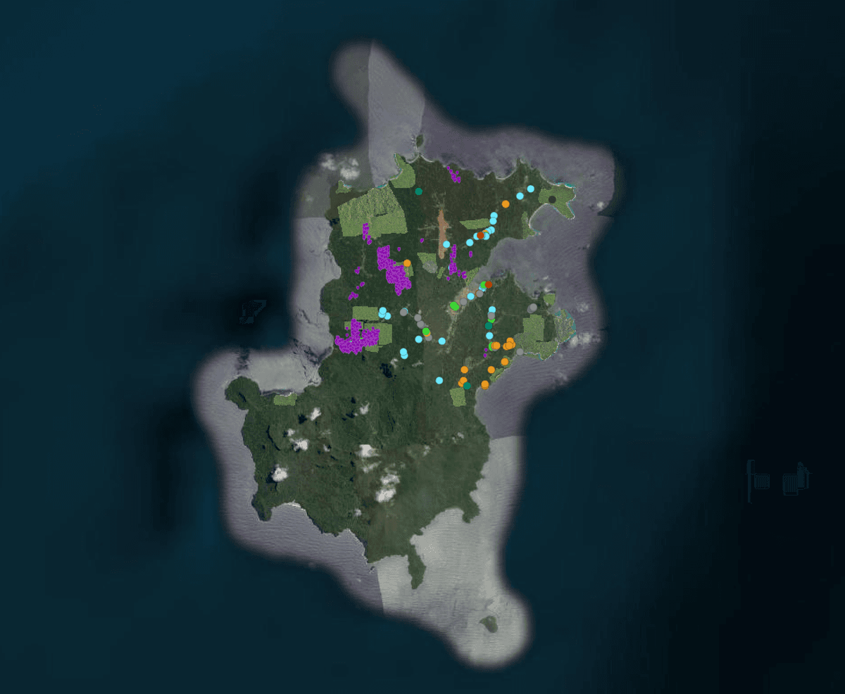
We conducted tree mapping and species inventory work using remote sensing data tailored to the island’s unique conditions. The approach combined:
High-resolution aerial imagery for individual tree crown detection
Species-level classification adapted to the island’s diverse and endemic flora
Integration with ground-truth data from botanical field surveys
The result was a spatially explicit tree inventory that gives the Faya Foundation a baseline understanding of what grows where across the island’s forest cover.
Working on something similar?
Reach out to find out more about how forestmap.ai can help your organization.
info@forestmap.ai
+44 (0)7986 882 740
By submitting this form, you acknowledge our Privacy Policy.
